


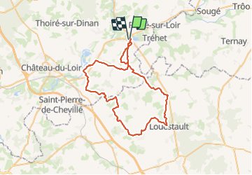

55 km | 64 km-effort

Benutzer


Kostenlosegpshiking-Anwendung
 SityTrail
IGN / Geografische Institute
SityTrail World
Die Welt öffnet sich für Sie
Tour Hybrid-Bike von 59 km verfügbar auf Pays de la Loire, Sarthe, La Chartre-sur-le-Loir. Diese Tour wird von danaubrac vorgeschlagen.
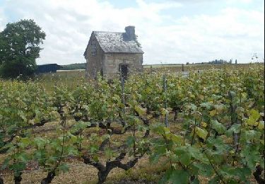
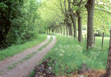
A l'entrée de Louestault (lieu-dit La Fontaine), ne manquez pas le coin pique-nique ...pour vous reposer, vous nourrir, ou simplement pour la beauté de l'endroit.
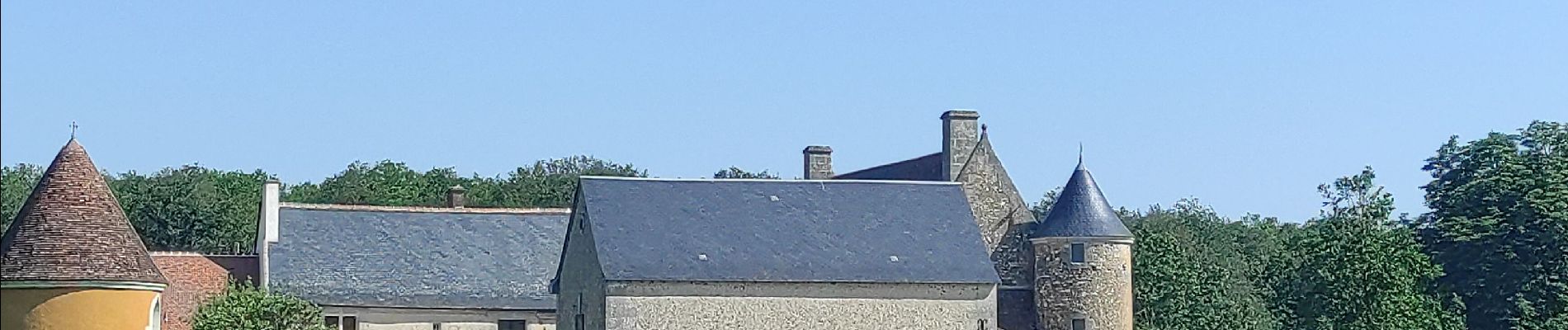
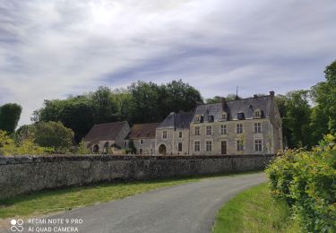
 - Photo 1")
 - Photo 2")
 - Photo 3")
 - Photo 4")
 - Photo 5")
 - Photo 6")
 - Photo 7")
Fahrrad
Zu Fuß
Wandern

Nordic Walking

Wandern
Wandern